

MAPS
Featured Collections
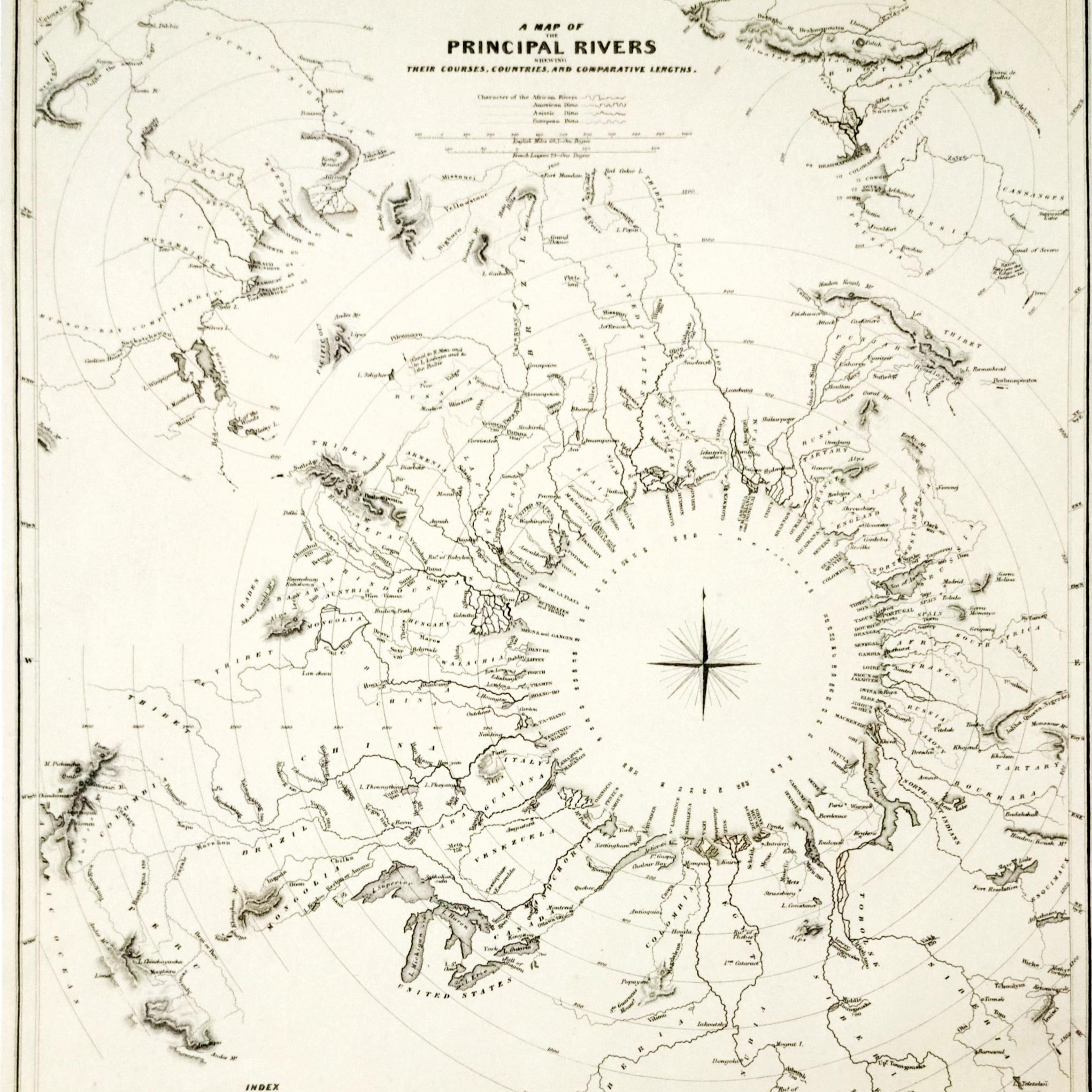
One of the notable maps preserved in the IIA Archives illustrates the character of the principal rivers of Africa, America, Asia, and Europe as represented in 1834. The map is engraved by Thomas Starling under the Superintendence of the Society for the Diffusion of Useful Knowledge, the map reflects the 19th-century approach to comparative geography and cartographic representation.
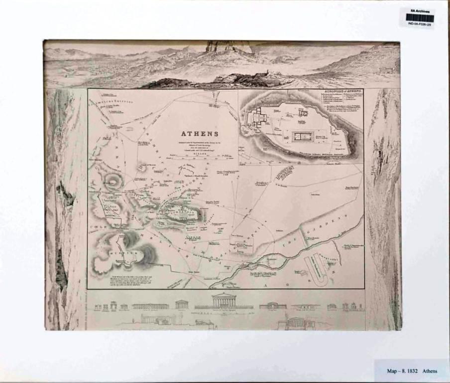
The IIA Archives preserve a map of Athens published by Baldwin & Cradock, under the direction of the Society for the Diffusion of Useful Knowledge. The map was drawn by W. B. Clarke and engraved by J. Henshall. It includes detailed views of Athens, depicting the restored height of the Acropolis, its western side, and a panoramic view of the city based on the original drawing by C. R. Cockerell. This work reflects the 19th-century tradition of combining cartographic representation with architectural and artistic reconstructions to convey both geographic and cultural knowledge.
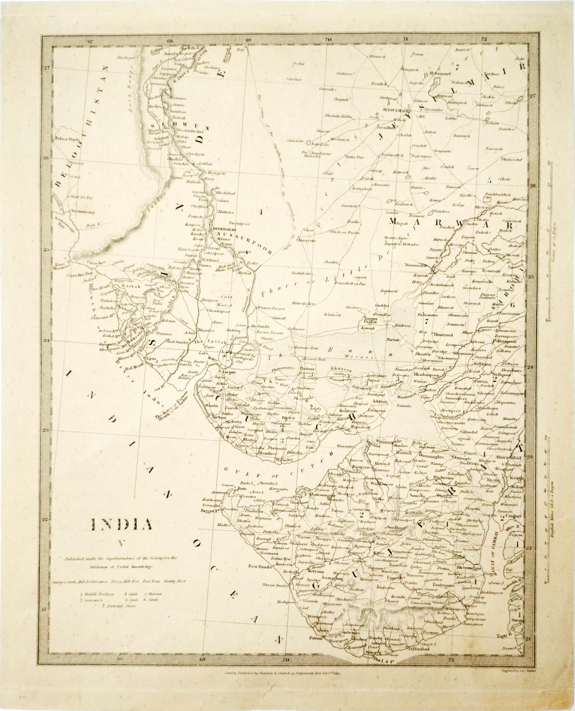
The IIA Archives preserve an 1833 map depicting the region of India from Sindh to Gujarat. The map is published by Baldwin & Cradock, 47 Paternoster Row, under the Superintendence of the Society for the Diffusion of Useful Knowledge, the map was drawn by W. B. Clarke, Architect, and engraved by J. Henshall. It reflects the cartographic practices of the early 19th century and provides valuable insight into contemporary geographical representation of western India.